
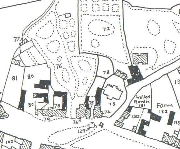

The 1839 Parish Rate Map and the Aldridge family; dwelling houses are shown as hatched; barns, outbuildings, stables etc are solid black.
The 1839 Parish Rate Map and the Aldridge family; dwelling houses are shown as hatched; barns, outbuildings, stables etc are solid black.